


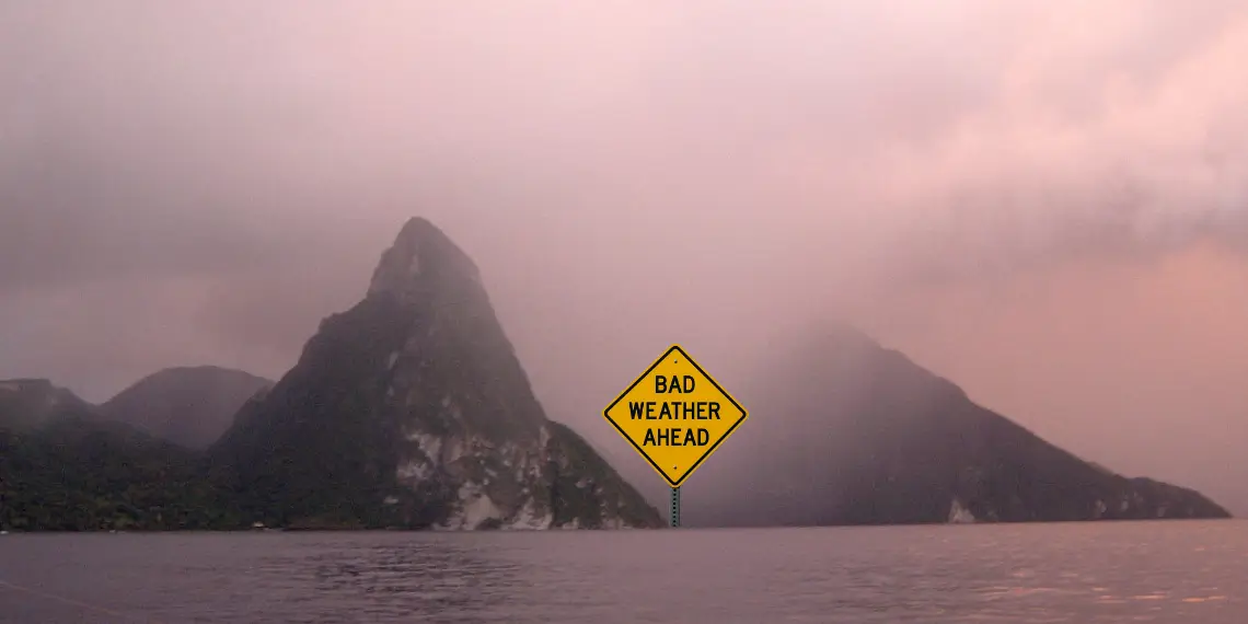
Scattered showers, thunderstorms and rough seas expected as system moves west
CASTRIES, St Lucia, — The St Lucia weather August 24 2025, update from the Saint Lucia Meteorological Services warns that a tropical disturbance moving across the Windward Islands is expected to bring heavy showers, isolated thunderstorms, and rough seas to the island through Monday.
At noon Sunday, forecaster Vigil Saltibus reported partly cloudy conditions at both Hewanorra International and George F.L. Charles airports. The temperature at Hewanorra reached 31°C (88°F), with overnight lows of 26°C (79°F). Relative humidity stood at 69 percent, while winds were blowing from the east at 24 mph (39 km/h).
Forecast calls for heavy showers and isolated thunderstorms
The forecast for the next 24 hours indicates partly cloudy to cloudy skies with scattered showers, some locally heavy, and isolated thunderstorms. The Met Services has urged residents and motorists in flood- and landslide-prone areas to remain cautious as conditions may rapidly deteriorate.
Rainfall in the 24-hour period ending 8 a.m. measured 12.2 millimeters at Hewanorra and 0.7 millimeters at GFL Charles. Totals for August now stand at 69.5 millimeters at Hewanorra and 38.1 millimeters at GFL Charles.
Readers can revisit the St Lucia weather August 23 2025 report for context on how conditions developed over the weekend.
Marine forecast warns of rough seas
Seas around Saint Lucia will be locally rough, with northeasterly to easterly swells ranging from 6 to 10 feet (1.8 to 3.0 meters). The Met Services has advised small craft operators and sea bathers to exercise extreme caution due to brisk winds, high surf, and reduced visibility.
Tides for Castries Harbour are forecast to be high at 4:40 p.m. and low at 10:18 p.m., while Vieux Fort Bay will experience high tide at 5:47 p.m. and low tide at 11:45 p.m.
Tropical disturbance east of Windward Islands under watch
Showers and thunderstorms associated with a tropical wave east of the Windward Islands have shown little organization in recent hours, but forecasters say development is possible over the next few days. The system is moving westward at 23 mph (37 km/h) and is expected to bring heavy rainfall and gusty winds across Saint Lucia and nearby islands late Sunday into Monday.
For broader coverage of this system’s development, see Windward Islands tropical disturbance update.
A second tropical wave, further east in the Tropical Atlantic, is moving slowly west near 6 mph (9 km/h). While not an immediate threat, it is being closely monitored.
Regional outlook
Across the Lesser Antilles, conditions are forecast to be cloudy to overcast with scattered moderate to heavy showers, gusty winds, and thunderstorms, particularly affecting the northern Windward and Leeward Islands.
Meanwhile, residents in neighboring islands have already been cautioned, with the tropical wave threatening St Vincent on August 23 2025 prompting alerts of possible flooding and gusty winds.
Residents are advised to monitor official weather bulletins for further updates as the systems progress. Sunset is expected at 6:20 p.m., with sunrise at 5:51 a.m. Monday.
For continued coverage of St Lucia weather and other top stories, follow Unitedpac St Lucia News.


