


Meteorologists warn of heavy rain, storms, and flash flood risk
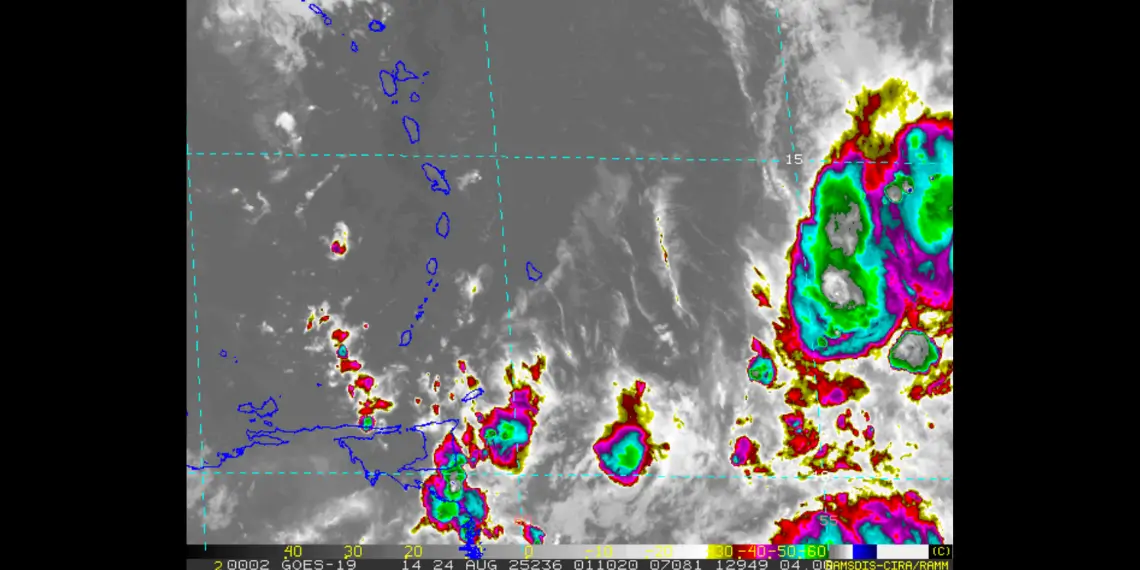
KINGSTOWN, St. Vincent — A strong tropical wave threatens St Vincent as it moves about 500 miles (805 km) east of the Windward Islands, showing signs of organization that could develop into a tropical depression within the next 48 hours, according to the St. Vincent and the Grenadines Meteorological Services.
The system, moving westward at 20 to 25 mph, is forecast to pass through the Windward and Leeward Islands late Sunday. Meteorologists estimate a 40 percent chance of further development over the next seven days, raising concerns across the eastern Caribbean.
Heavy rain and rough seas expected
Showers and thunderstorms associated with the system have increased, and weather officials warn of deteriorating sea conditions. Even if it does not develop into a depression, the tropical wave is expected to bring cloudy skies, moderate to heavy rainfall, and thunderstorms across St Vincent and the Grenadines by late Sunday.
Forecasters also cautioned that strong winds ahead of the system could amplify the risk of flash flooding, with watches or warnings possible within the next 24 hours.
System tracks toward central Caribbean
The system is expected to reach the central Caribbean by Tuesday, August 26, where conditions may become less favorable for intensification. The U.S. Air Force has a reconnaissance aircraft on standby to investigate the system if required.
Residents urged to remain vigilant
Officials advised residents to closely monitor updates, emphasizing preparedness as the region enters the peak of the Atlantic hurricane season. The St. Vincent and the Grenadines Meteorological Services said it will continue to monitor the system and issue updates as conditions change.
For continued coverage of tropical weather systems and other breaking news across the Caribbean, follow Unitedpac St Lucia News.


