


NHC warns of heavy rainfall and gusty winds across Windward and Leeward Islands
CASTRIES, St. Lucia — A Windward Islands tropical disturbance has a 40 percent chance of developing into a cyclone within the next week, according to the U.S. National Hurricane Center (NHC).
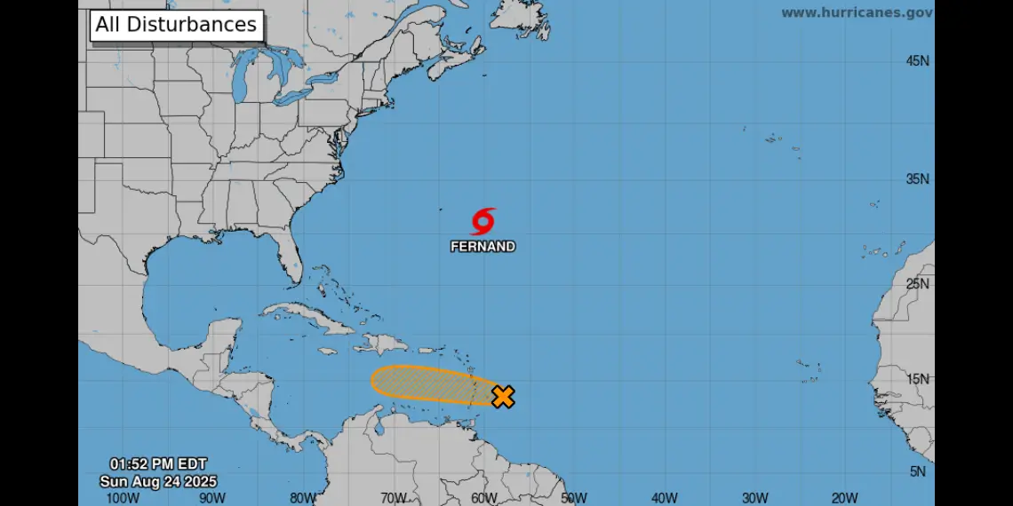
The system, designated AL99, was located about 200 miles east of the Windward Islands at 8 a.m. EDT on Sunday. The NHC reported that showers and thunderstorms associated with the tropical wave have intensified since Saturday, though no defined surface circulation has been detected.
Forecasters said the disturbance could strengthen into a tropical depression within the next 48 hours as it moves westward at speeds of 20 to 25 mph. The system is projected to cross the Windward and Leeward Islands later Sunday into early Monday, bringing periods of heavy rainfall and gusty winds regardless of whether it develops further.
“The NHC tropical outlook places the formation chance at 40 percent over both the next two days and the next seven days, according to the National Hurricane Center.”
Islands bracing for impact
Residents across St. Lucia, Martinique, Dominica, and neighboring territories have been urged to prepare for deteriorating weather conditions as the disturbance approaches. Local authorities issued a Caribbean weather alert, warning that flash flooding could occur in low-lying communities and saturated areas.
The approach of AL99 comes just one day after a tropical wave threatened St. Vincent, underscoring the active nature of this stage of the Atlantic hurricane season.
Even without reaching tropical storm status, the wave could deliver dangerous squalls. The Windward and Leeward Islands storm threat includes localized flooding, power outages, and disruptions to travel and small craft operations.
Reconnaissance aircraft on standby
To better assess the system’s development potential, an Air Force Reserve reconnaissance aircraft has been scheduled to investigate AL99 on Sunday afternoon if necessary. Data collected from such missions often help forecasters refine track and intensity predictions.
At present, the NHC classifies the disturbance’s development potential as “medium,” noting the tropical depression risk will remain possible before conditions become less favorable.
Caribbean forecast outlook
The system is expected to reach the central Caribbean forecast region by Tuesday, where increasing wind shear and other atmospheric factors are projected to hinder further development.
Still, meteorologists stressed that the disturbance underscores the risks faced by Caribbean islands during the peak months of the Atlantic hurricane season. Residents are urged to monitor official advisories closely as conditions evolve.
For continued coverage of storm systems and developing weather patterns in the Caribbean, follow Unitedpac St Lucia News.


